Do you enjoy running in the great outdoors and want to learn how to use a map and compass? Orienteering is the perfect combination of physical effort and logic!

A real outdoor activity that takes you on an adventure.

What is orienteering?

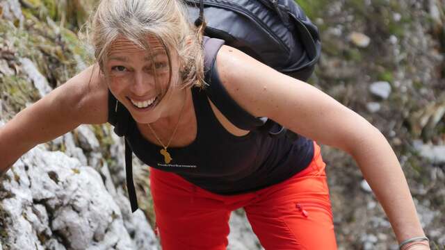
Combine a sporting activity with a challenge of logic and spatial reference and you get orienteering.

Orienteering is best known on foot. But it can also be done by bike or on skis!

The bonus? Orienteering is accessible to everyone, because you can choose the difficulty of the course to suit your level.

For the more competitive, the aim is to complete the course as quickly as possible.

With the help of a map and a compass, you’ll need to find a number of markers that will enable you to map out your route. At the markers, remember to punch your way through.

How to practice

To get the most out of orienteering, we recommend :

– a good pair of trainers 👟
– a compass (you can also use the one on your mobile phone) 🧭
– a map of the route 🗺️
– a bottle of water 💧
– a stopwatch if you want to challenge yourself ⏱️

 Where can you buy your card?

At the Tourist Office reception desk, you can pick up several orienteering maps to suit your level and preferences:

About Villard de Lans

Heritage trail in the centre of the village of Villard de Lans and Bois Barbu
3 maps available (2 adult routes and 1 children’s route) – Free of charge

French Orienteering Federation course around Villard de Lans
6 routes (3 from Les Cochettes and 3 from the Lycée) level green – blue – orange – Price: €3.50

Discovery mountain bike trail at Bois Barbu
1 map available (1 green route and 1 blue route) – Free

About Corrençon en Vercors

Heritage trail in the centre of the village of Corrençon en Vercors
3 maps available (1 sports trail, 1 adult trail and 1 children’s trail) – Free